The picture above shows the Bangladesh Parliament building area in Street View
A popular part of search giant Google’s widely used map service is Street View, which adds a new dimension to its artificial satellite imagery and general map-based mapping experience. Street View offers some additional benefits over Satellite or Map View. Satellite imagery is usually “bird’s eye view” (as seen from the top to the bottom). But every time you use a Google Street View map of a place, you will feel as if you are walking down the street and looking around. Pretty funny, isn’t it?
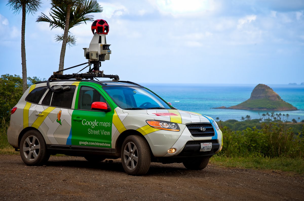
The images shown on the Street View map are taken from the content. Typically, this is why Google uses sophisticated camera-rich cars.
If you were an early visitor to our Fulcrumy.com blog, you may remember, the official Street View project in Bangladesh in February 2013. Google started the activity. Then the work of taking pictures with the help of special camera vehicle started.
Two years later, at the end of January 2015, Google published street view maps of several places in Dhaka and Chittagong. Now you www.google.com/streetview By visiting the address and typing Dhaka or Chittagong in the search box, you can see the pictures taken in 360 degree view of some places in Dhaka and Chittagong.
Here you can see Ahsan Manzil (front part) of Dhaka directly in Street View.
[★★] Want to write about technology? One right now Technician Open an account and post about science and technology! fulcrumy.com Create a new account by visiting. Become a great technician!


